Africa’s tectonic split is already measurable today, even though the visible changes will unfold over thousands of years. What looks like a stable continent on a human timescale is actually being pulled apart along a network of faults known as the East African Rift System. Thanks to modern geodesy and seismology, scientists can quantify the motion in millimeters to centimeters per year and trace the long-term story of continents in the making.
What is the East African Rift?
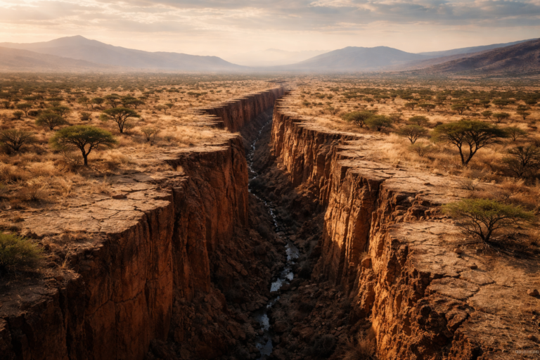
The East African Rift is a series of connected faults and basins stretching roughly from the Afar Triangle in Ethiopia down through Kenya, Tanzania and into Mozambique. It marks the boundary where the African Plate is splitting into two smaller plates: the Somali Plate (moving southeast) and the Nubian Plate (moving west).
This rifting is driven by upwelling mantle material beneath the crust. Where the lithosphere stretches and thins, magma can intrude, producing volcanic activity and creating rift basins. Over geological time, continued extension could open a new ocean basin—similar to how the Atlantic formed—though that process will take millions of years.
How do scientists measure the split?
Modern instruments let us detect tiny motions that would be imperceptible without technology. Key methods include:
- GPS/GNSS networks: Permanent GPS stations across East Africa measure relative plate motions with millimeter-to-centimeter precision per year.
- InSAR (satellite radar): Interferometric synthetic aperture radar detects ground deformation across wide areas, showing where the crust is stretching or subsiding.
- Seismology: Earthquake patterns map active faults and reveal depth and orientation of the rift-related structures.
- Geological field studies: Mapping fault scarps, volcanic deposits and basin sediments provides the long-term context for recent measurements.
Together, these tools show that extension rates across different parts of the rift vary but are measurable now. Typical rates are a few millimeters to a few centimeters per year—slow on human scales, but significant across thousands to millions of years.
Visible signs today
Although the dramatic splitting of a continent is a slow process, there are striking features and hazards already present:
- Volcanoes: Active systems such as Erta Ale, Dabbahu, and Ol Doinyo Lengai regularly erupt or show unrest tied to rifting.
- Earthquakes: Frequent shallow earthquakes accompany fault slip and magma movement.
- Rift valleys and lakes: Depressions like the Kenyan and Ethiopian rifts host lakes (e.g., Lake Turkana, Lake Tanganyika) and fertile basins.
- Fissures and ground subsidence: Localized ground cracking and sinking reflect ongoing extension.
These phenomena are direct evidence that the crust is adapting to the stresses imposed by rifting. For local communities they are immediate realities—affecting water resources, agriculture and infrastructure.
Why it will take thousands to millions of years to see “breaking”
Even if two points on opposite sides of a rift move a centimeter per year, that adds up to only a meter in a century. To create a new seaway and fully separate continental blocks requires tens of kilometers of opening and the sustained eruption of magma that forms oceanic crust. That timeline runs into millions of years.
Geological processes operate at rates and scales far beyond a single human lifetime. The present-day measurements are important because they confirm the direction and rate of motion, allowing geoscientists to model future scenarios—even if the dramatic landscape changes remain remote in time.
Implications for people and planning
Measurable motion matters now. Understanding rift dynamics helps:
- Assess earthquake and volcanic hazards and guide building codes and emergency planning.
- Manage water and geothermal resources linked to rift basins.
- Predict landform evolution important for infrastructure projects (roads, dams).
- Explore minerals and geothermal energy concentrated by rifting and magmatic activity.
Policymakers and communities benefit when scientific monitoring informs long-term development and disaster preparedness.
Conclusion
The idea that continents can split might sound like science fiction, but the East African Rift is an everyday example of plate tectonics in action. Africa’s tectonic split is already measurable today, even though the visible changes will unfold over thousands of years. Modern instruments let us watch a slow but profound transformation that will shape the geography of the region for millions of years to come—reminding us that Earth’s surface is alive and always changing.